Geography
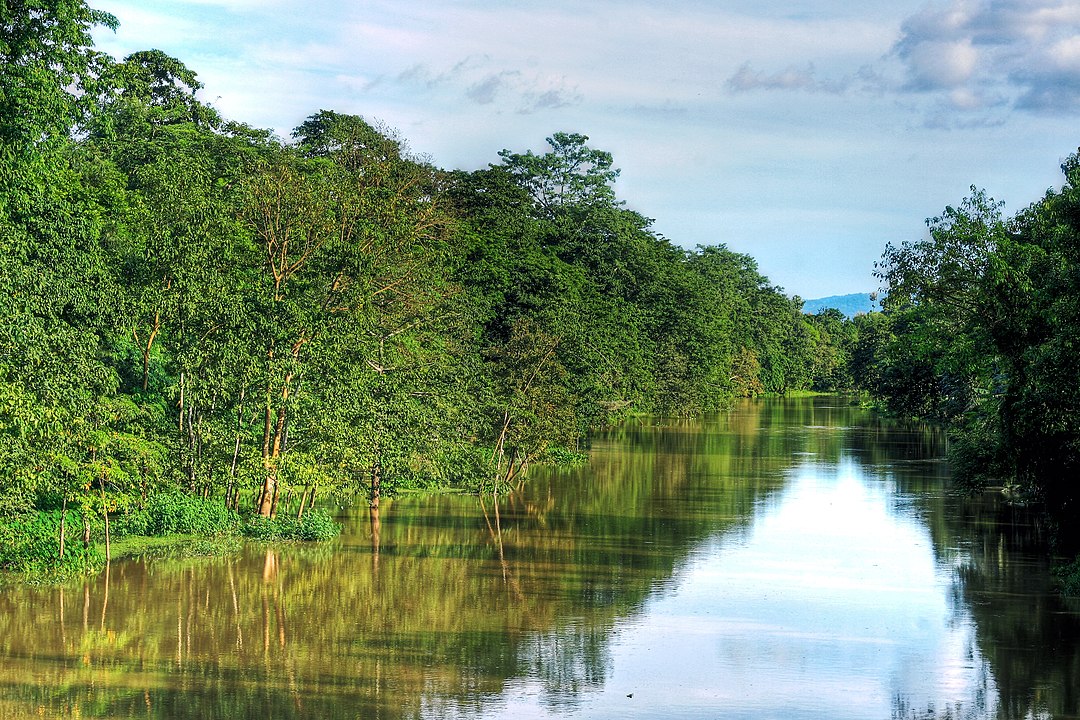
The Kolong River, a tributary of the Brahmaputra River, flows through Nagaon and in the process divides the city into two distinct regions: Nagaon and Haibargaon. Nagaon is bounded on the north by the Sonitpur district and the Brahmaputra River. On the south, it borders the West Karbi Anglong district, Dima Hasao and Hojai District. On the east, it is bounded by East Karbi Anglong district and the Golaghat district, while on the west it neighbors the Marigaon district.
There are several beels, marshy areas and swamps in the district, including the regions of Marikalong, Potakalong, Haribhanga, Jongalbalahu, Samaguri Beel, Gatanga Beel Urigadang and Nawbhanga. These wetlands are former channels of the Kolong and Kopili rivers. The district headquarters are located in Nagaon town. A part of the Kaziranga National Park is located within the Nagaon district. The district is bounded by the Brahmaputra river in the north (across the river is Sonitpur district, Karbi Anglong West and Hojai in the south, East Karbi Anglong and Golaghat district in the east. The district is a perfect example oxoman (un-even in Assamese) (অসমান) from where the word Assam originated, as it possesses rivers, river valleys, hills, jungles, and plains.